- Type
- Beach
- Area
- South coast
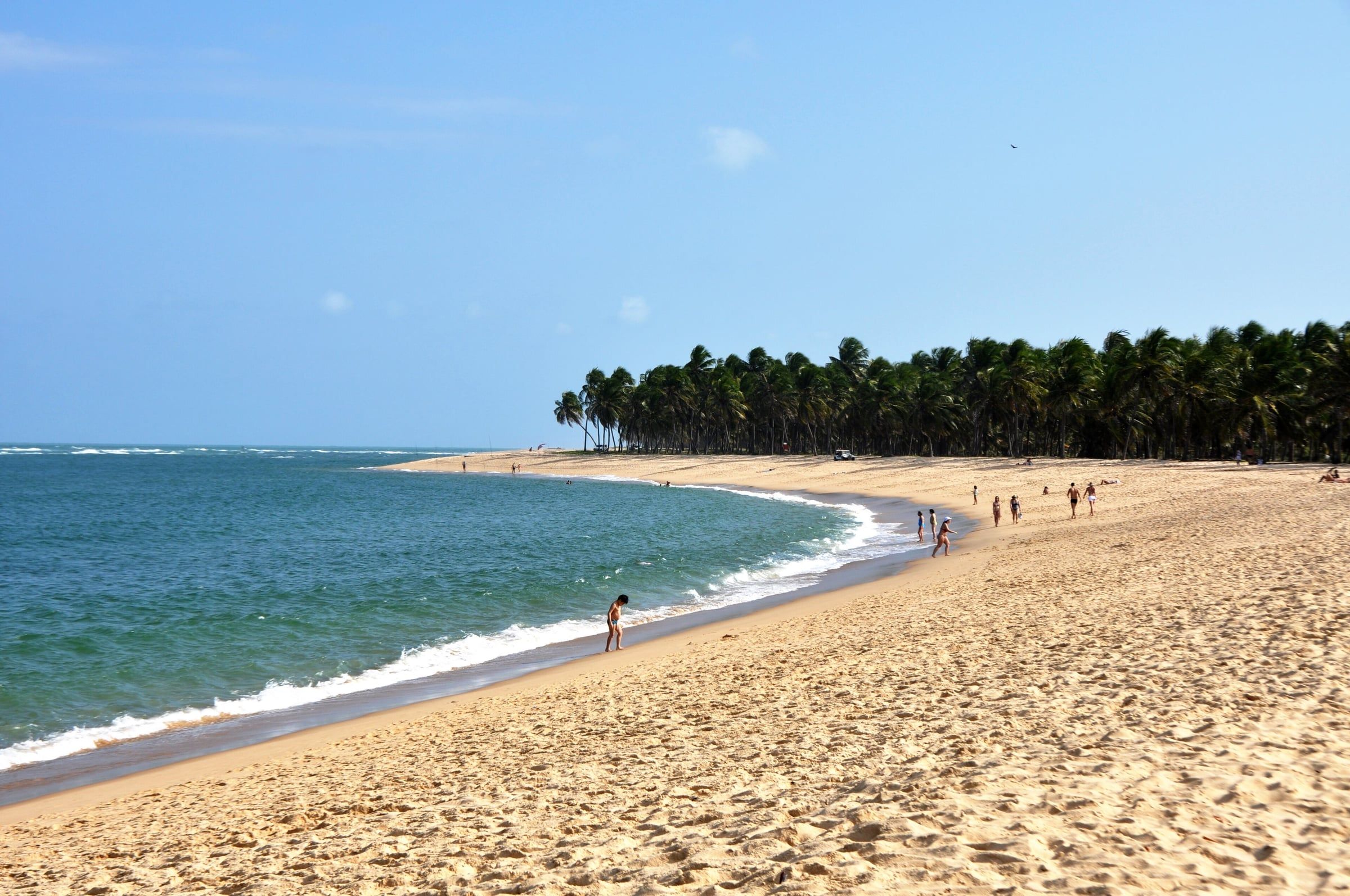
Gunga Beach occupies a sandspit between the ocean and Roteiro Lagoon, in the municipality of Roteiro, on the Alagoas south coast. The scenery combines pale sand, an extensive coconut grove and colorful cliffs, making it one of the images most associated with tourism in the state. On the other side of the inlet is Barra de São Miguel, where many trips to the beach depart.
Where it is and how to get there
Gunga is south of Maceió, past Marechal Deodoro and Barra de São Miguel. The overland route is the AL-101 Sul highway. There are two main ways to get there:
- By road: follow the AL-101 Sul to the beach turnoff, which crosses the coconut grove. There may be a charge for access or parking at the entrance. Prices have no published official source, so check locally.
- By water: from Barra de São Miguel, boats and speedboats cross the inlet to Gunga’s sandspit. The Visite Alagoas portal mentions speedboat and buggy trips to Gunga from Barra.
Many people do the whole south coast route in a day, with an agency or their own car, combining Gunga with Barra and Praia do Francês. See the options in Maceió tours.
The lookout
Before the road down to the beach, beside the AL-101 Sul, there’s a lookout with a view of the coconut grove, the beach, the lagoon inlet and part of the Barra de São Miguel coast. That’s where the classic photos of Gunga are taken. There may be a charge to go up to the lookout. Check the price locally, as there’s no published official list.
Cliffs and coconut grove
The colorful cliffs are the other highlight. Trips to them are usually made by buggy or quad bike, with a driver. The Fire Department recommends safety equipment and professional supervision for this kind of adventure activity.
Sea and lagoon: two settings
Gunga has a sea side and a side facing the lagoon and inlet, with warmer, stiller water. This mix is what makes the beach different from Maceió’s city beaches. The Alagoas Environment Institute (IMA-AL) monitors water quality along the coast; before going into the sea, it’s worth checking the latest bathing water bulletin on its website.
| Side | Characteristic | Watch out for |
|---|---|---|
| Sea | Conditions vary with wind and tide | Flags and currents |
| Lagoon and inlet | Calmer, warmer water | Strong current at the mouth of the inlet |
The tide greatly affects the scenery and swimming. Check the Maceió tide table to choose your time.
Facilities and precautions
The stretch of sand nearest the boat landing has beach shacks and vendors, which get busier in high season and at weekends. Farther away, it’s quieter. Some precautions:
- use sunscreen and bring a hat; the natural shade is in the coconut grove;
- bring water;
- take your litter with you;
- don’t remove sand from the cliffs or carve into them.
Fitting it into your itinerary
If you only have one day for the south coast, a common combination is to stop at the lookout in the morning, spend the low-tide hours at Gunga and return via Barra de São Miguel. Praia do Francês and central Marechal Deodoro make for another day. The guide to the beaches of the Alagoas south coast compares the area’s beaches.
-
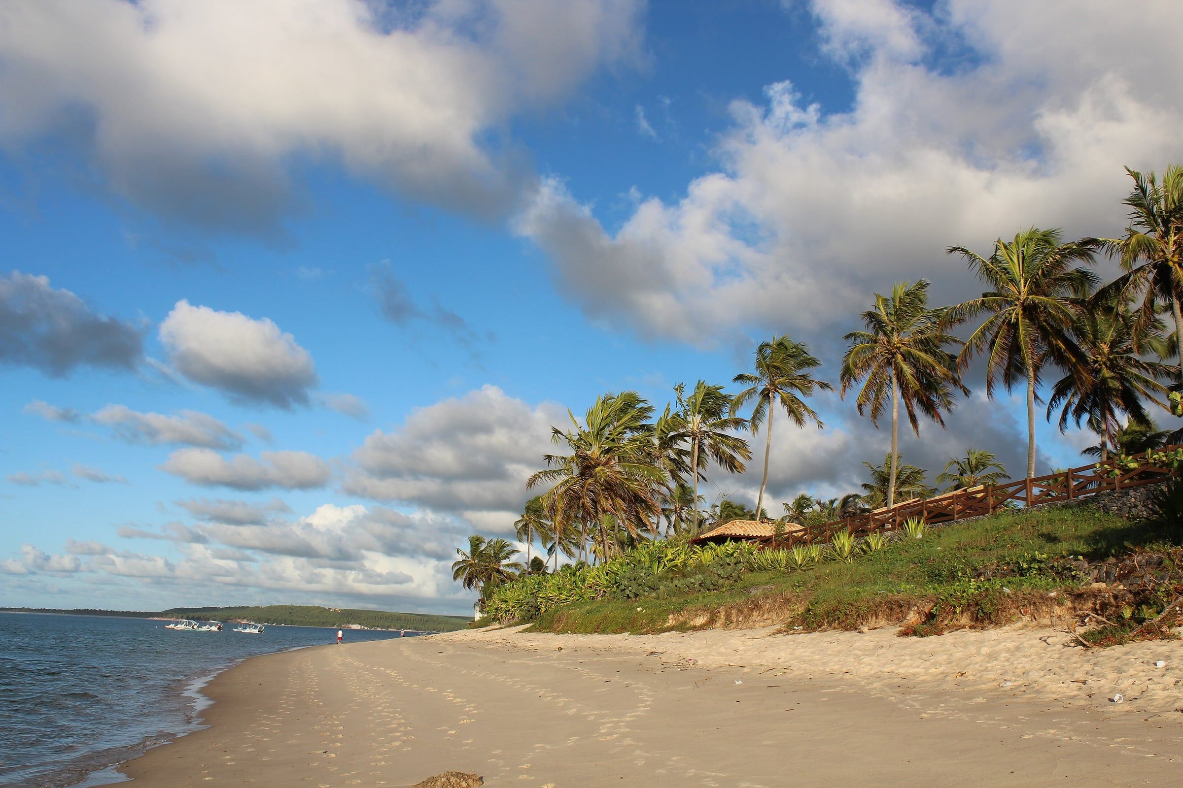 Tide-dependent South coast Barra de São Miguel Beach A south coast municipality about 32 km from the Ponta Verde waterfront, with a reef-sheltered sea and departures for trips to Gunga Beach. See details
 -
 Tide-dependent South coast Praia do Francês The best-known beach on the south coast is in Marechal Deodoro, about half an hour from Maceió, and combines a reef-sheltered stretch with a stretch of waves. See details
 -
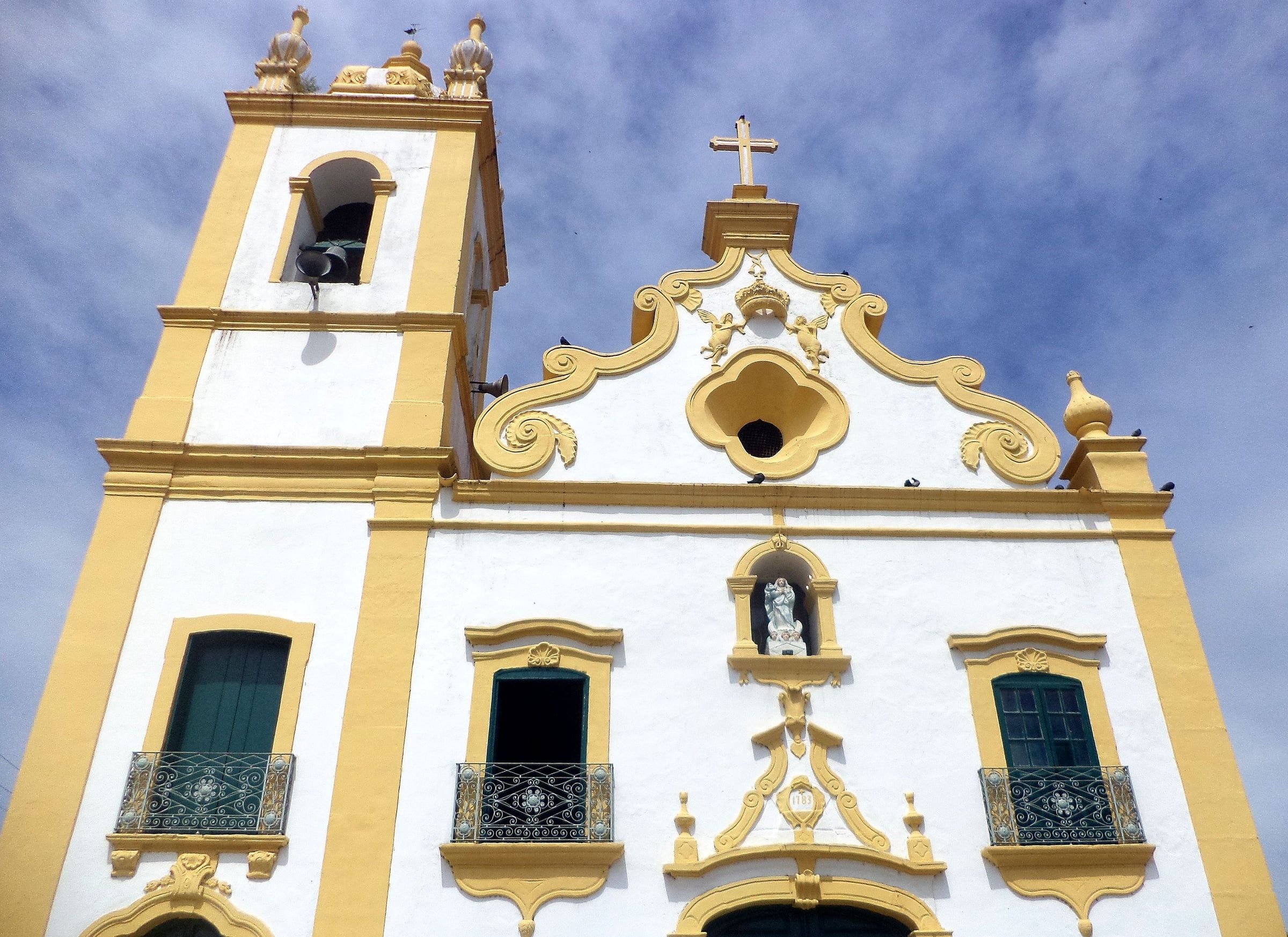 Mundaú and Manguaba lagoons Marechal Deodoro, the First Capital of Alagoas A town next to Maceió, on Manguaba Lagoon, with an architectural ensemble listed by Iphan, a Franciscan convent and the birthplace of Brazil's first president. See details
Practical tips
- Stop at the lookout beside the AL-101 Sul before going down to the beach: that's where the classic view of the coconut grove is.
- There may be a charge for access or parking; check locally and bring some cash.
- To visit the cliffs, book a buggy or quad bike with an accredited driver.
- Where the lagoon meets the sea, the current can be strong: don't swim at the mouth of the inlet.
Frequently asked questions
Which town is Gunga Beach in?
The municipality of Roteiro, on the Alagoas south coast. The beach is on the other side of the inlet from Barra de São Miguel.
How do I get to Gunga from Maceió?
By car, on the AL-101 Sul, passing Marechal Deodoro and Barra de São Miguel to the beach turnoff. Another option is to cross by boat or speedboat from Barra de São Miguel, or take a south coast agency tour.
What is the Gunga lookout?
It's a viewpoint beside the AL-101 Sul from which you can see the coconut grove, the beach, the lagoon inlet and part of the Barra de São Miguel coast. It's where the best-known photos of Gunga are taken.
Is it safe to visit the cliffs?
The cliffs are used for buggy and quad bike trips. Take the trip with an accredited driver, follow the safety instructions and don't go near the edges or stand below unstable cliff faces.
Combine with
- Tide-dependent South coast Barra de São Miguel Beach A south coast municipality about 32 km from the Ponta Verde waterfront, with a reef-sheltered sea and departures for trips to Gunga Beach. See details
- Tide-dependent South coast Praia do Francês The best-known beach on the south coast is in Marechal Deodoro, about half an hour from Maceió, and combines a reef-sheltered stretch with a stretch of waves. See details
- Mundaú and Manguaba lagoons Marechal Deodoro, the First Capital of Alagoas A town next to Maceió, on Manguaba Lagoon, with an architectural ensemble listed by Iphan, a Franciscan convent and the birthplace of Brazil's first president. See details