Plan
Maceió Tide Table: How to Read It and Plan the Natural Pools
The tide table for the port of Maceió, published by the Navy, decides the day for the natural pools. Learn how to read it and use it in your itinerary.
Updated on October 5, 2026 ✓ Information checked on October 5, 2026 adapted from the Portuguese original
In Maceió, the tide sets the itinerary. The Pajuçara and Paripueira natural pools only exist as shallow areas at low tide, and the scenery at beaches such as Ponta Verde changes a lot throughout the day. The planning tool is the tide table, and the official source in Brazil is the Brazilian Navy.
Where to check the official source
The Navy Hydrography Center (CHM), part of the Directorate of Hydrography and Navigation, publishes tide forecasts for Brazilian ports. For Maceió, use the port of Maceió station. Access is through the Navy tide tables page.
Tide websites and apps often reproduce this data, sometimes with easier-to-read charts. They’re useful, but if there’s a difference, the Navy table prevails.
How to read the table
The table is organized by day. For each date, a few times are shown with a height in meters next to them.
| What you see | What it means |
|---|---|
| Date and day of the week | The day of the forecast |
| Time | The predicted moment of each high or low tide |
| Height (m) | The predicted water level at that moment, in meters |
| Highest values of the day | High tide |
| Lowest values of the day | Low tide, the one that matters for the pools |
| Moon phase | Helps predict whether the tide will be stronger or weaker |
On the Alagoas coast, the tide is semidiurnal: there are generally two high tides and two low tides a day, about six hours apart. So a day’s low tides might fall before dawn and in the afternoon, for example.
Reading it in three steps
- Find your travel date in the port of Maceió table.
- Identify the low tides, the lowest values of the day, and note the time of each.
- Compare the height with other days. The lower the number, the more exposed the reefs.
Negative heights
Heights are measured from a reference level used on nautical charts. When the tide falls below it, the table shows a negative value. It’s not a mistake. These are usually the lowest tides of the month.
Full moon, new moon and tides
The strength of the tide follows the phases of the moon:
- Full moon and new moon (spring tides): stronger tides. High tide rises higher and low tide falls lower. These are the best periods for natural pools.
- First and last quarter (neap tides): weaker tides. Low tide doesn’t fall as much, and the pools may be too deep or not form at all.
The effect shows up a few days after the exact moon phase. So look at the numbers in the table, not just the lunar calendar.
Why low tide matters for the pools
Pajuçara
The Pajuçara natural pools sit on the reefs off the waterfront. At low tide, the water over the sand between the reefs becomes shallow and calm. At high tide, the reef is covered and the trip loses its point. The jangadas leave from the beach itself, and the jangada operators follow the table to decide on departures. Maceió City Hall hasn’t published a height limit; check with the operators whether the day is good.
Paripueira
At Paripueira, inside the Costa dos Corais APA, visits to the pools are regulated by ICMBio, which ties trips to the tide times. The guidance published by Paripueira City Hall is that on tides with a low of 0.7 m or higher, trips are restricted. The APA also limits the number of visitors per day.
How to build your itinerary around the tide
- Open the table before settling your travel dates, if you can.
- Mark the good days for pools: a low low tide in daylight hours.
- Fit the pools in first. Other outings, such as Mundaú Lagoon, the historic center and the south coast beaches, depend less on the tide.
- Have a plan B. Strong wind and rain can cloud the water even with a good tide.
The ready-made itineraries already follow this logic. See the Maceió itinerary and, to choose when to go, the when to visit Maceió guide.
Safety
- River mouths: on the north coast, as at Ipioca, river mouths become dangerous as the tide rises.
- Sunscreen: the ideal low tide often coincides with strong sun. Apply it before you go.
- Coral: don’t step on it, don’t take pieces and don’t feed the fish.
To compare all the beaches and areas, read the Maceió beaches guide. For general planning, start with plan your trip.
Attractions mentioned
-
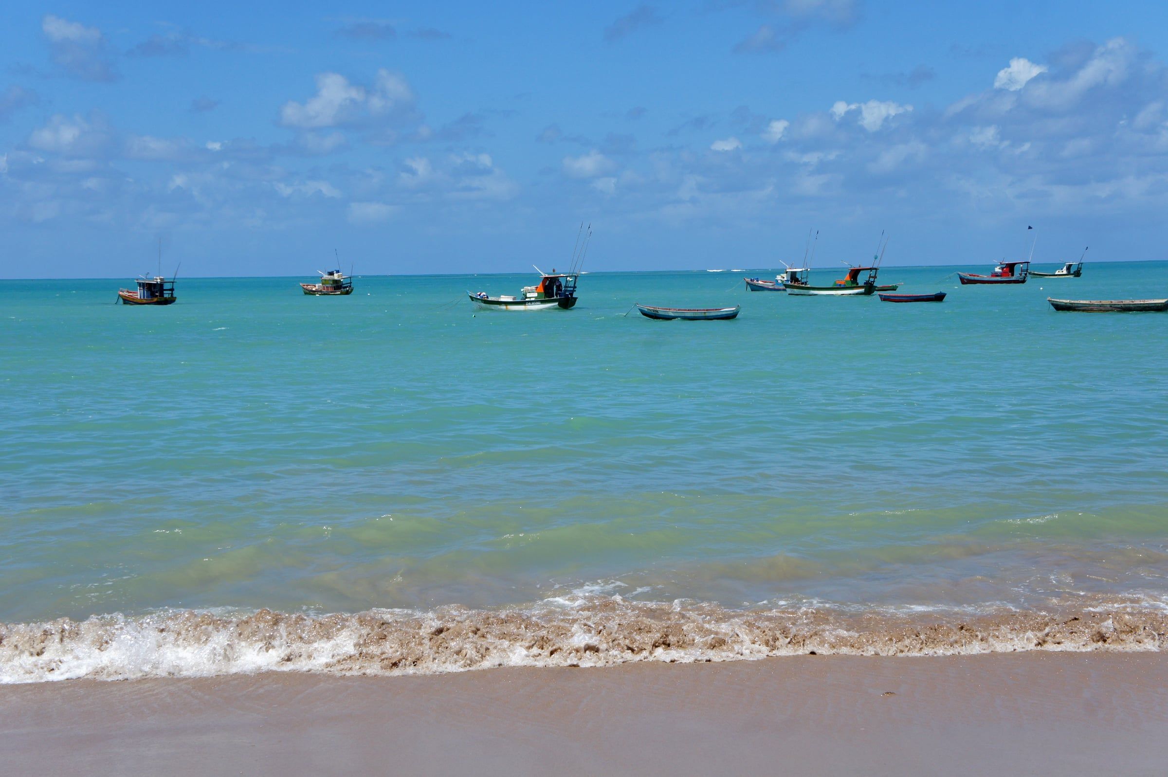 PaidTide-dependent Maceió city waterfront Pajuçara Natural Pools The Pajuçara pools only appear at low tide, and you get there by jangada from the sand at Pajuçara. Plan with the tide table. See details
 -
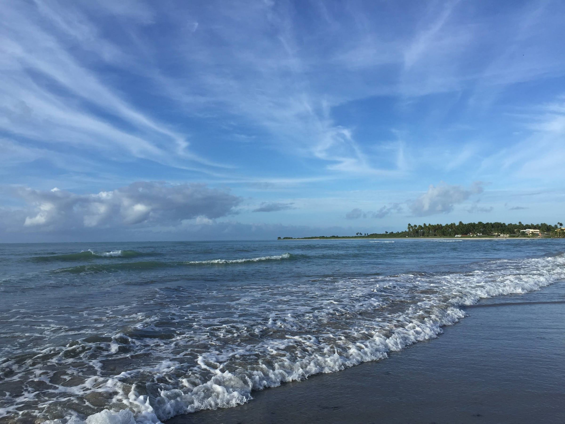 Tide-dependent North coast Paripueira Beach and Natural Pools Paripueira is the municipality just north of Maceió and has natural pools with visits regulated by the Costa dos Corais APA. See details
 -
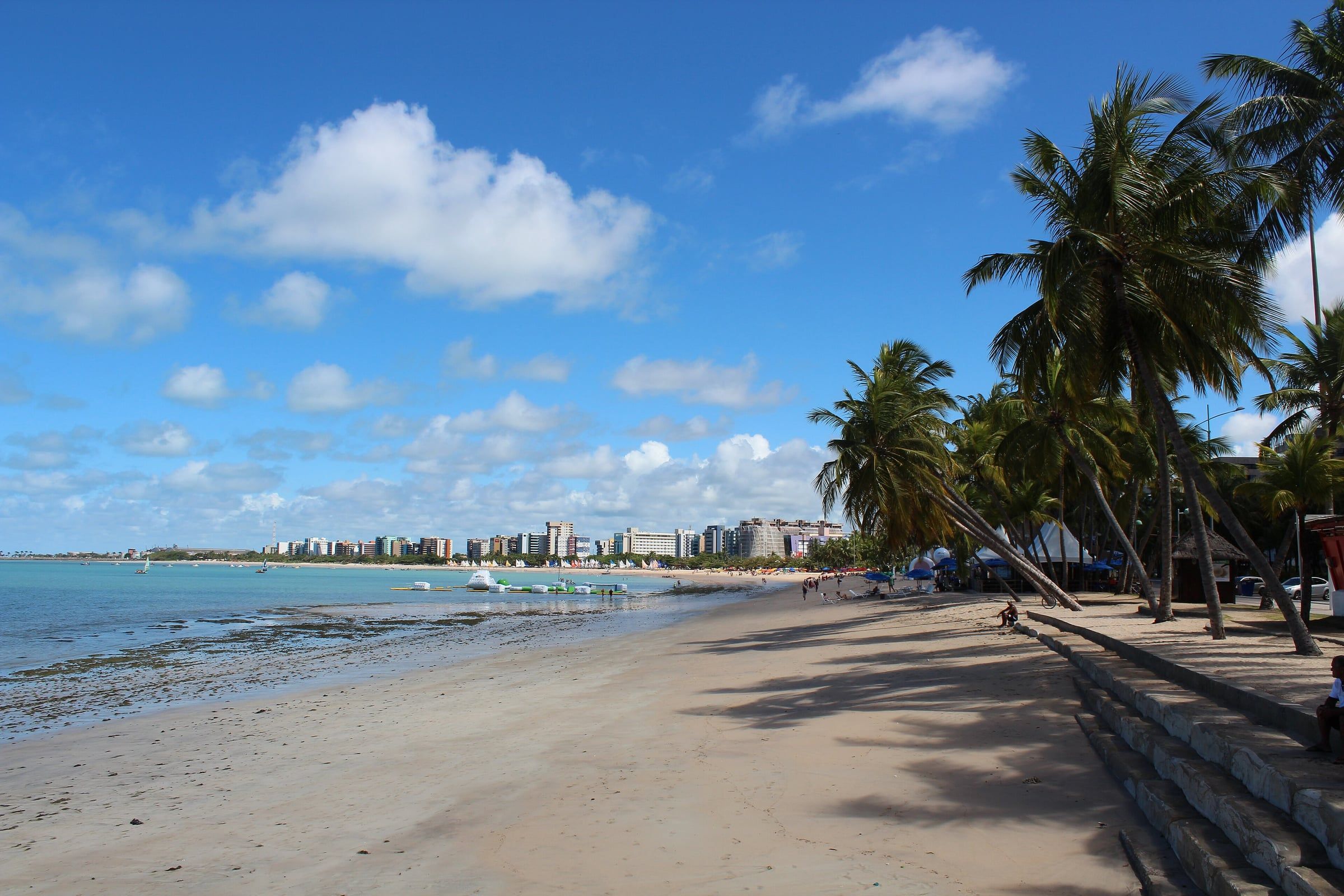 Free access Maceió city waterfront Ponta Verde Beach Ponta Verde is the point of Maceió's city waterfront, marked by the striped lighthouse on the reefs and a sea that becomes shallow at low tide. See details
Frequently asked questions
Where can I find the official Maceió tide table?
On the Navy Hydrography Center (CHM) website, in the tide tables section. Look for the station for the port of Maceió, in Alagoas. Many websites and apps reproduce this data, but the official source is the Navy.
What tide height is good for the natural pools?
The lower the low tide, the better. For the Costa dos Corais APA pools, such as those at Paripueira, the guidance published by Paripueira City Hall is that with a low tide of 0.7 m or higher, trips are restricted. At Pajuçara there's no official published limit; check with the jangada operators.
Is a negative height in the table a mistake?
No. Heights are measured from a reference level. When low tide drops below that level, the table shows a negative number. These are generally the best tides for natural pools.
How far ahead can I plan?
The Navy publishes the forecast for the whole year. You can choose your travel dates already knowing which days will have low tide in daylight.
Is the forecast guaranteed?
It's an astronomical forecast and is usually reliable for times. Wind, rain and waves can change the actual water level and visibility. Confirm conditions on the day with the tour operator.
Keep reading
Keep planning
-
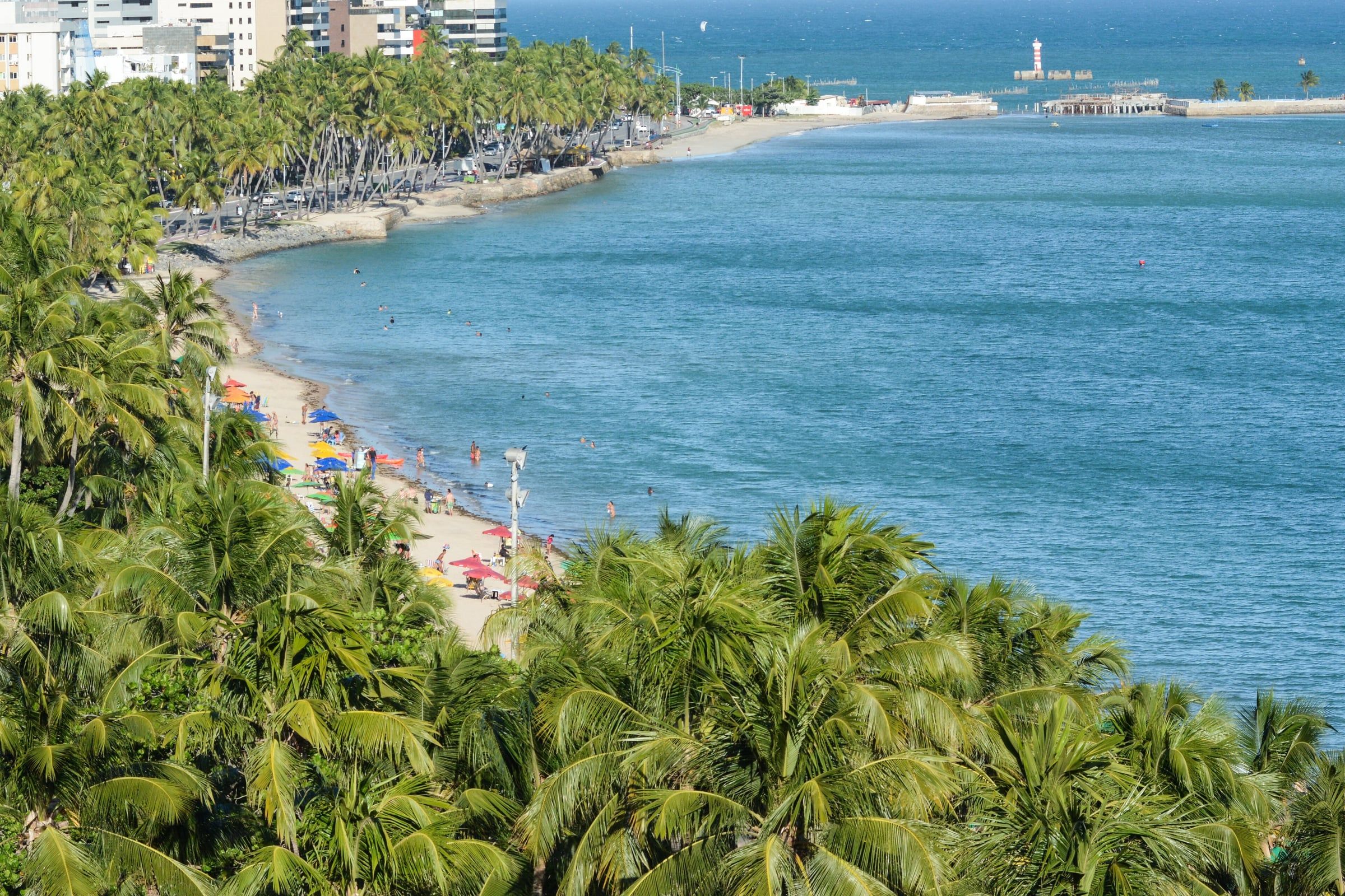 Plan Your Trip to Maceió A step-by-step guide to organizing your trip to Maceió without forgetting anything: from choosing the month to the tide table. Read guide
 -
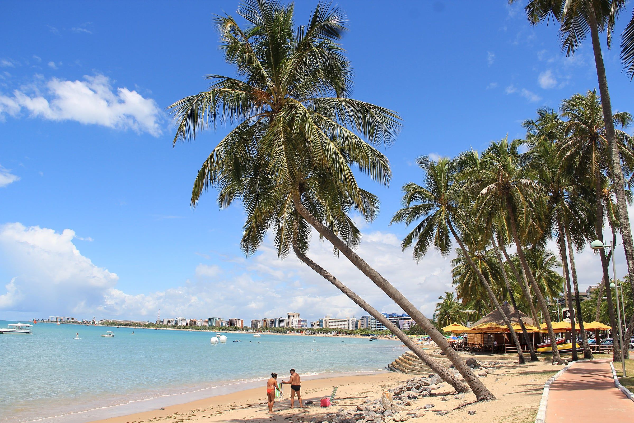 Maceió Beaches A quick map of Maceió's beaches: the city waterfront with the Pajuçara pools, the calmer north coast and the south coast of lagoons and coconut groves. Read guide
 - When to Visit Maceió: Month-by-Month Weather, Rain and High Season See how much it rains each month, when the city fills up and how to choose the best time for your kind of trip. Read guide